Pacific Northwest Alpine & high mountainGlacier & iceNational park
Mount Rainier National Park
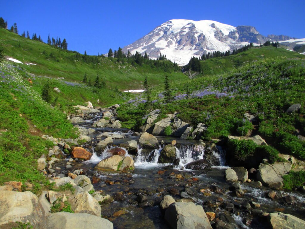
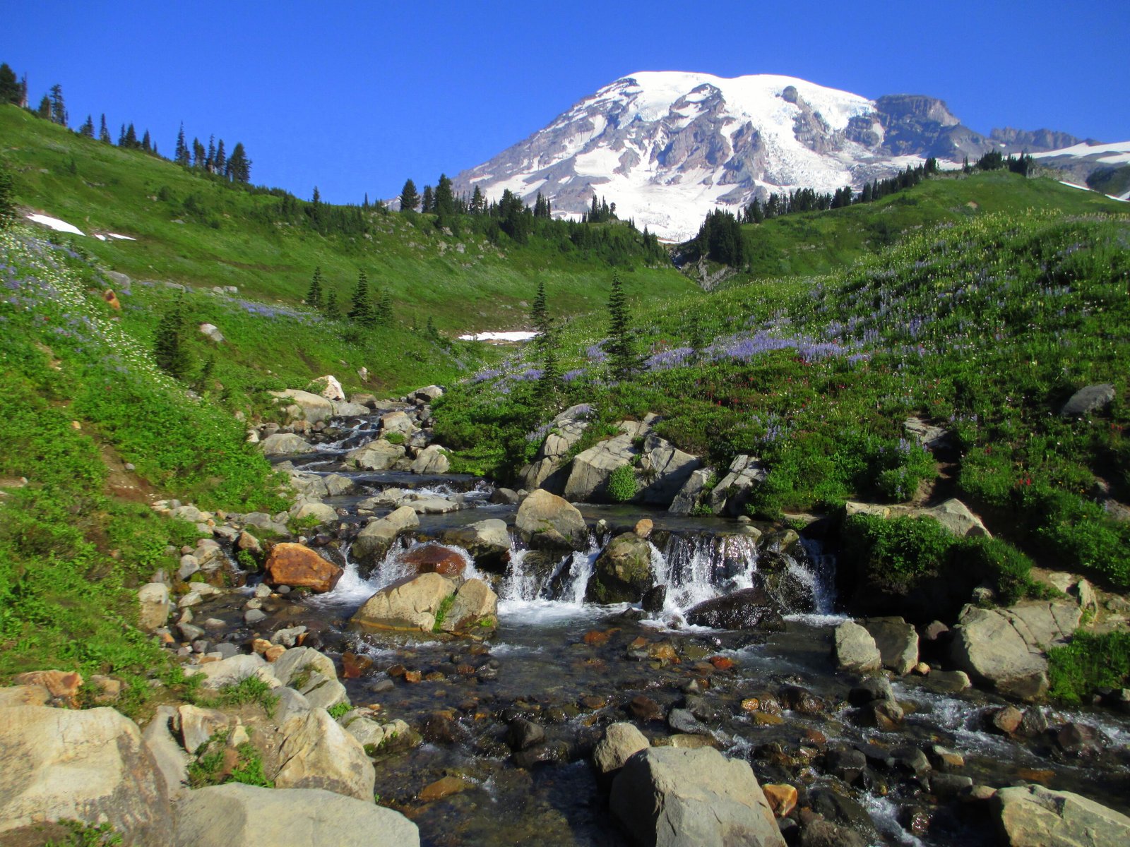
A 14,410-foot volcano and 25 glaciers
Photograph by Samuel Kerr on Wikimedia Commons
About Mount Rainier National Park
Established on 2 March 1899 as the fourth national park in the United States, this park preserves 236,381 acres including all of Mount Rainier, a 14,410-foot stratovolcano and the highest point in the Cascade Range. The mountain rises abruptly from the surrounding land, so elevations inside the park run from 1,600 feet to over 14,000, taking in valleys, waterfalls, subalpine meadows and 91,000 acres of old-growth forest. More than 25 glaciers descend the flanks of the volcano, which is often shrouded in clouds that dump enormous amounts of rain and snow. Paradise, the Carbon River and Mowich Lake are among the areas the entrances lead to.
Watch