Rocky Mountains Alpine & high mountainRiver valleyScenic route
Jackson Hole
A graben valley fifty-five miles long
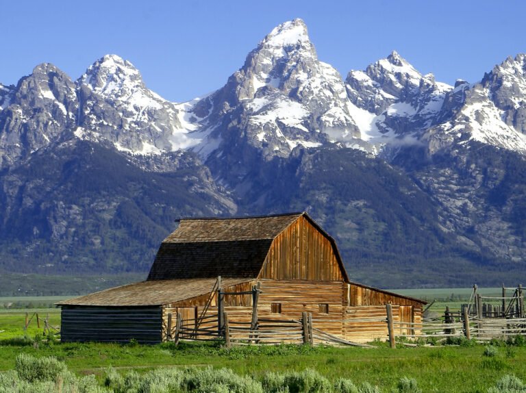
Photograph by Acroterion on Wikimedia Commons
About Jackson Hole
A graben valley between the Gros Ventre and Teton ranges, fifty-five miles long and six to thirteen wide, averaging 6,800 feet with its lowest point at 6,350 near the southern boundary of Grand Teton National Park. Trappers called such a mountain valley a hole, and this one was Jackson’s, low ground ringed by mountains, with rivers and streams that made good habitat for beaver and other fur-bearing animals. Native Americans used the valley for hunting and ceremony; it is not known to have held year-round settlement before the 1870s.
Watch
Read and plan
Nearby, across borders
Within 60 km as the crow flies, in any country.