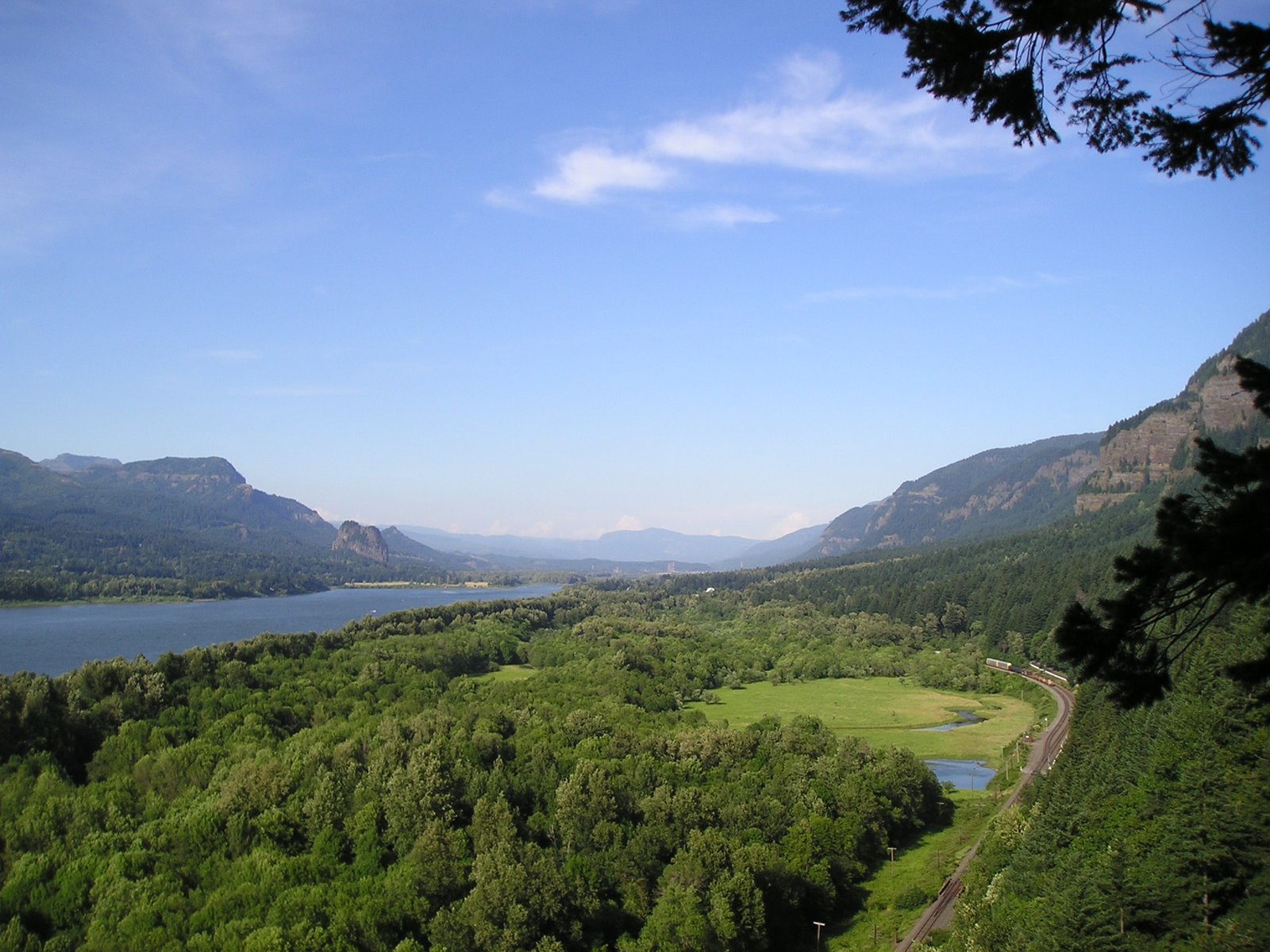
Pacific Northwest Gorge & canyonRiver valleyScenic route
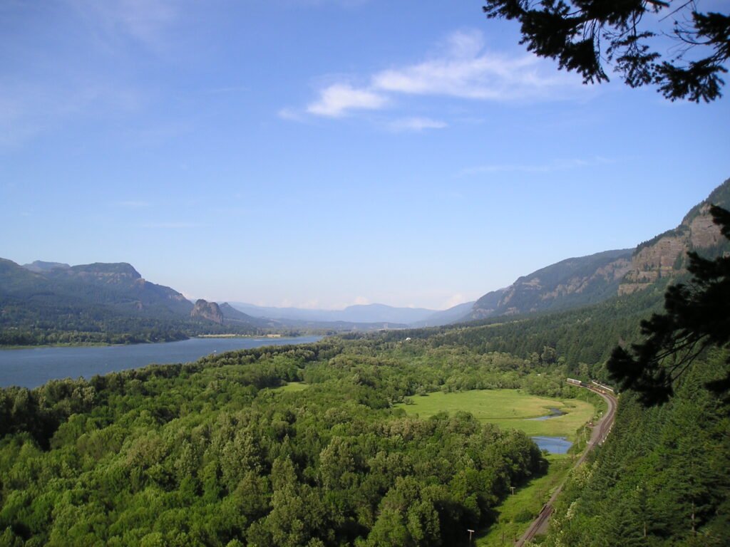
Columbia River Gorge
The only navigable way through the Cascades
Photograph by Blue Ice at English Wikipedia on Wikimedia Commons
About Columbia River Gorge
A canyon of the Columbia River up to 4,000 feet deep, stretching over eighty miles as the river winds westward through the Cascade Range and forming the boundary between Washington to the north and Oregon to the south. It runs roughly from the confluence with the Deschutes River in the east down to the eastern reaches of the Portland metropolitan area. The water gap is the only navigable route through the Cascades and the only water connection between the Columbia Plateau and the Pacific Ocean, which is why Interstate 84, U.S. Route 30, Washington State Route 14 and railroad tracks on both banks all run through it.
Watch