Wild Atlantic Way — West Heathland & moorHill walkingNational park
The Burren
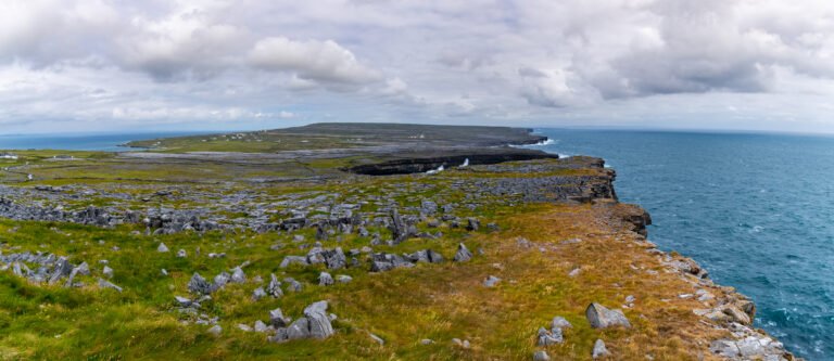
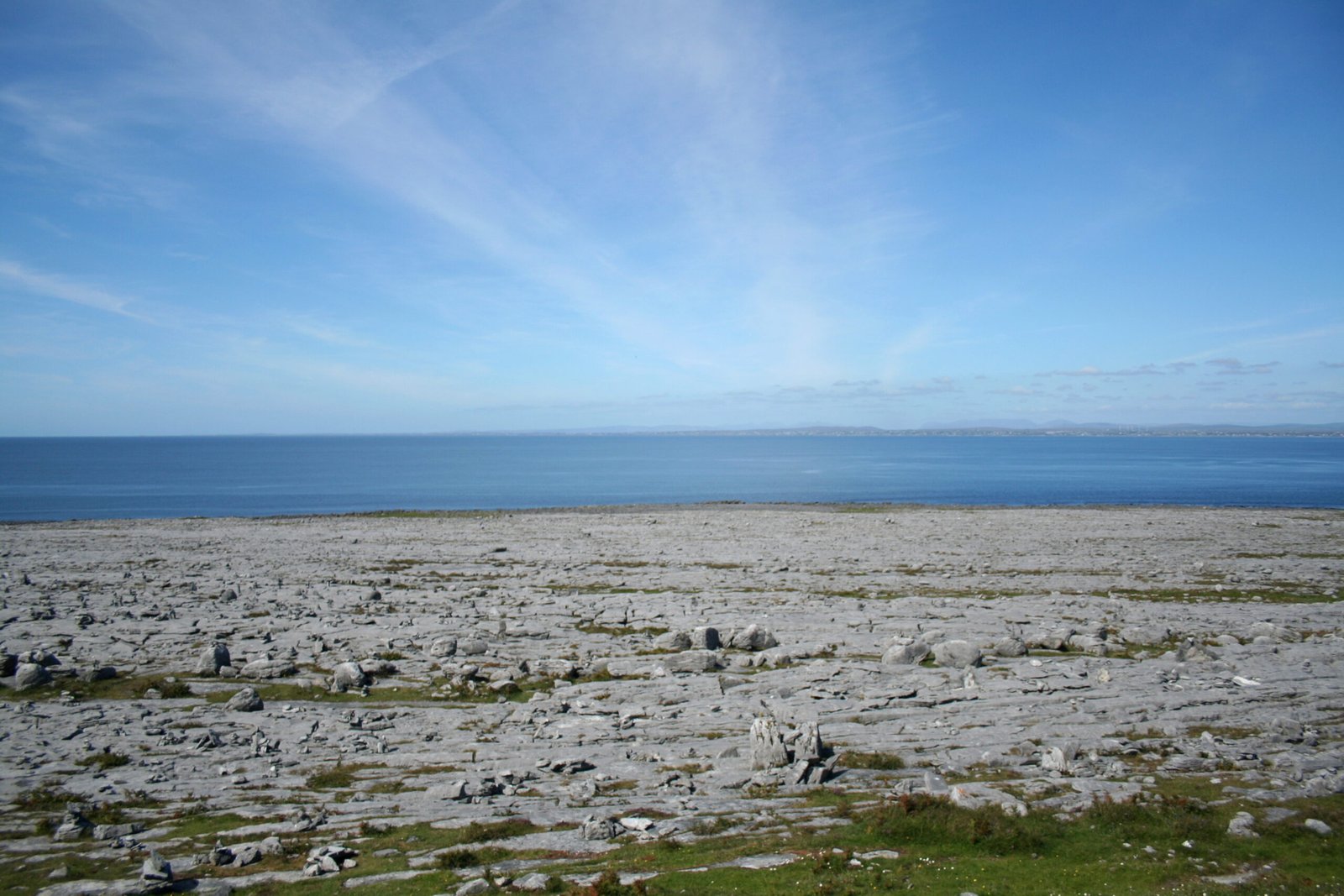
A rocky district of bare limestone
Photograph by Ingo Mehling on Wikimedia Commons
About The Burren
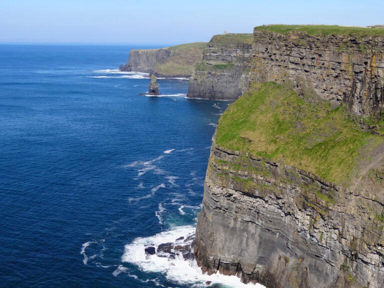
A karst landscape of about 530 square kilometres in County Clare, inside the circle made by Lisdoonvarna, Corofin, Gort and Kinvara, bare limestone pavement bounded by the Atlantic and Galway Bay, with the Aran Islands a geological continuation of the same hills. Mullaghmore and the Ailladie cliffs are here, along with the Poulnabrone dolmen and Caherconnell stone fort. Burren National Park covers only a small part of it and is the smallest of Ireland’s eight; the adjacent ground, taking in the Cliffs of Moher, forms the Burren and Cliffs of Moher Geopark.
Watch
Read and plan
Nearby, across borders
Within 60 km as the crow flies, in any country.