Wild Atlantic Way — West Accessible walkingCoastal & cliff walkingWetland & birdwatching
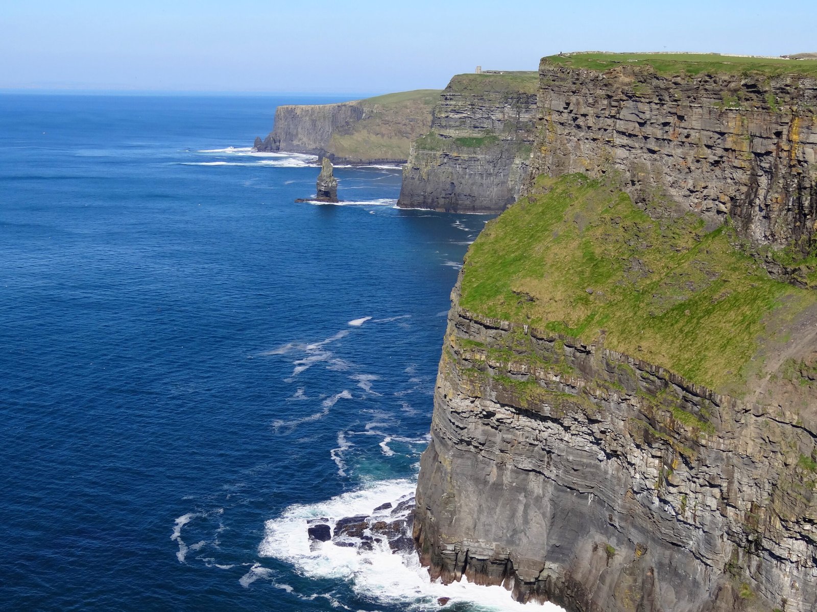
Cliffs of Moher
214 metres at their highest point
Photograph by Bjørn Christian Tørrissen on Wikimedia Commons
About Cliffs of Moher
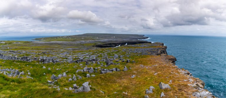
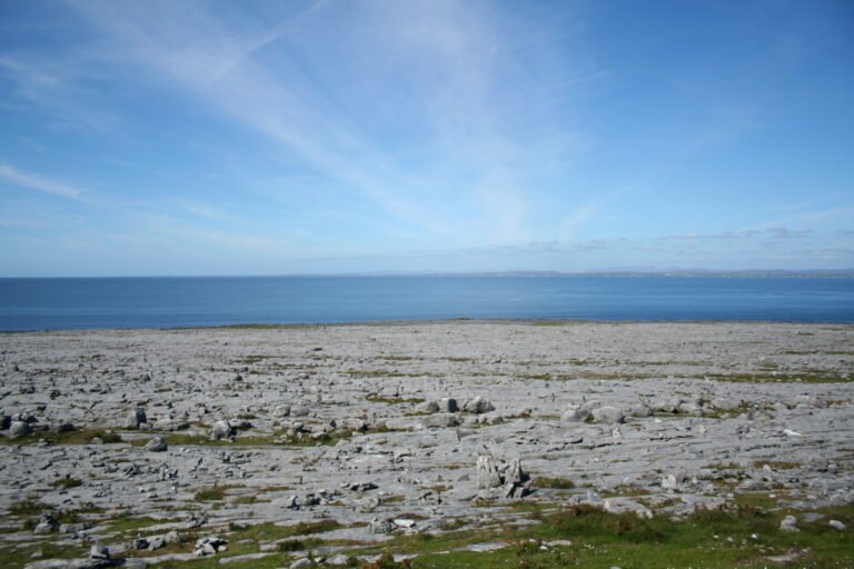
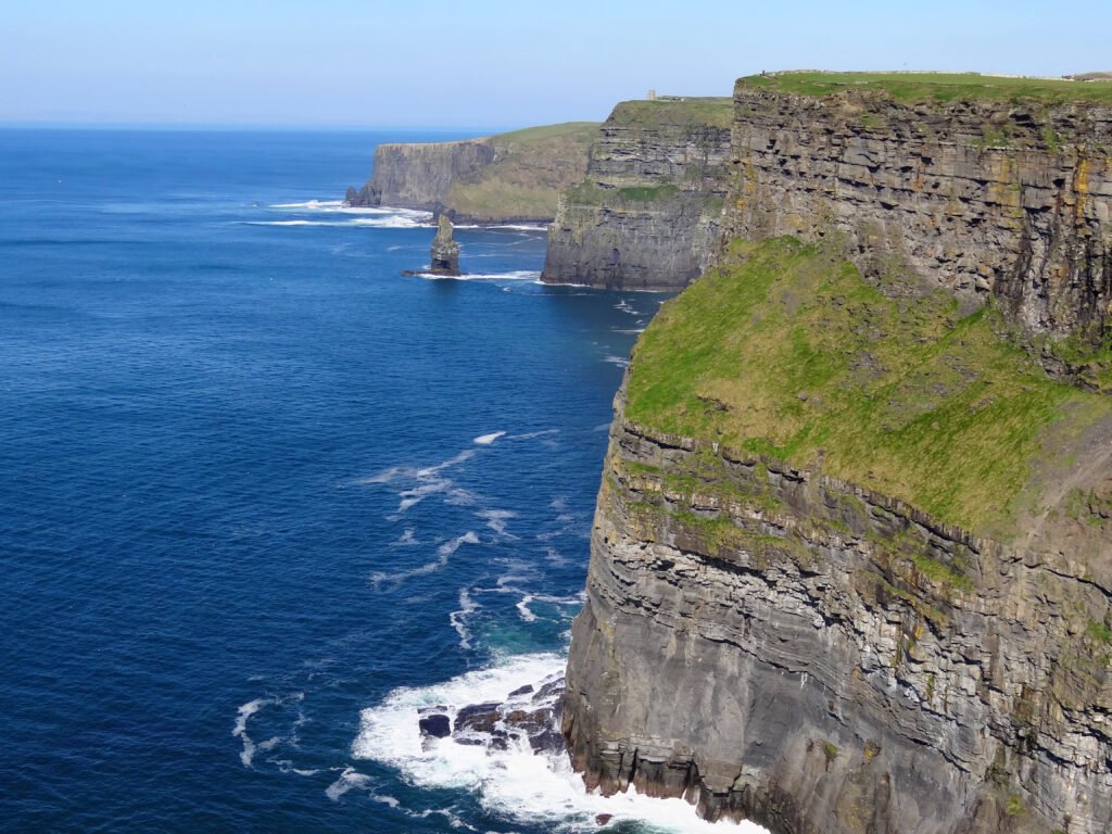
Fourteen kilometres of sea cliff at the southwestern edge of the Burren, rising 120 metres at Hag’s Head in the south and reaching 214 metres eight kilometres north, just past O’Brien’s Tower, a round stone tower built at the midpoint in 1835 by Sir Cornelius O’Brien, before dropping again. From the top you can see the Aran Islands out in Galway Bay, the Maumturks and Twelve Pins to the north, and Loop Head south. The name comes from an old promontory fort, Mothar, that stood on Hag’s Head and was still standing in 1780.
Watch
Read and plan
Nearby, across borders
Within 60 km as the crow flies, in any country.