East Coast & Midlands Accessible walkingCycling routePrehistoric & archaeology
Boyne Valley
Ptolemy mapped it as the white cow
Photograph by Sandro Schachner on Wikimedia Commons
About Boyne Valley
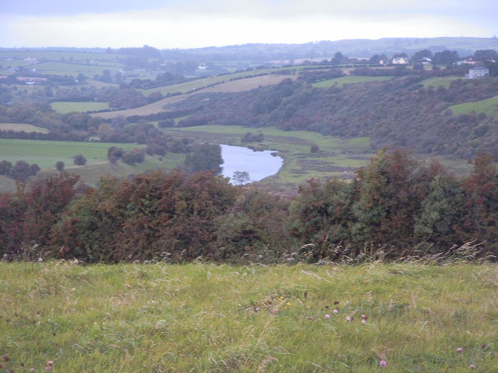
A river of about 112 kilometres running north-east from near Carbury in Kildare through Meath to the Irish Sea, and one of the most storied waterways in the country. Ptolemy mapped it in the second century as Bouwinda, which in Celtic means white cow. Irish mythology has it created by the goddess Boann, from whom the modern name descends, and it was in this water that Fionn mac Cumhail caught Fiontán, the Salmon of Knowledge. The Battle of the Boyne was fought on it, William III defeating James II.
Watch
Read and plan
Nearby, across borders
Within 60 km as the crow flies, in any country.