Southern Region Forest & estateGlacier & iceHill walking
Þórsmörk
Warm ground, closed in between glaciers
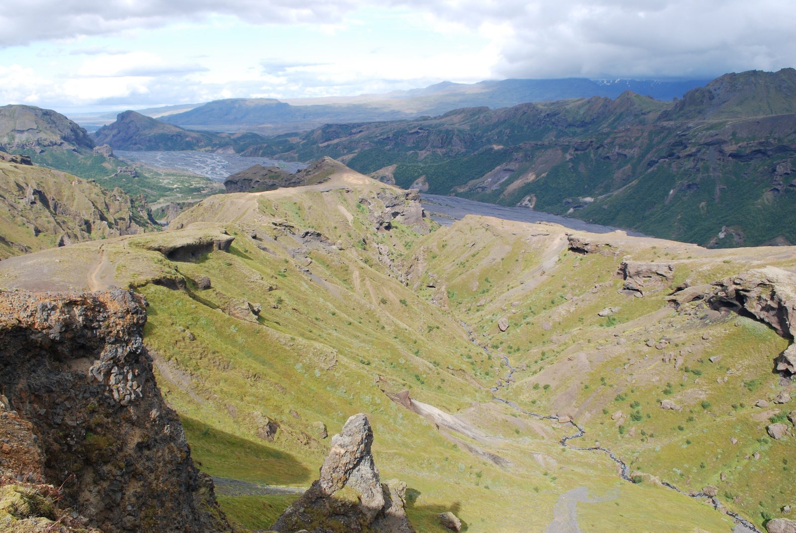
Photograph by Chmee2 on Wikimedia Commons
About Þórsmörk
A mountain ridge named for Thor, between the glaciers Tindfjallajökull and Eyjafjallajökull, with the Krossá winding through the valley below and Mýrdalsjökull closing off the far end. Being shut in by ice on several sides gives it a notably warm climate for southern Iceland, and the valley floor carries moss, fern, birchwood and low shrubs where the surrounding country carries almost nothing. It is one of the most popular hiking areas in the country. The 2010 Eyjafjallajökull eruptions buried much of it under thick volcanic ash, and it took several months to recover.
Watch
Read and plan
Nearby, across borders
Within 60 km as the crow flies, in any country.