Southern Region Coastal & cliff walkingVolcanic landscapeWetland & birdwatching
Dyrhólaey
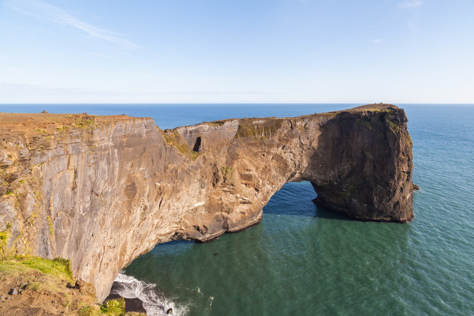
A lava arch big enough to fly a plane through
Photograph by Diego Delso on Wikimedia Commons
About Dyrhólaey
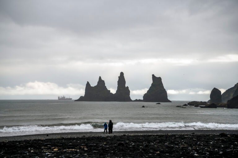
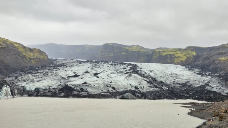
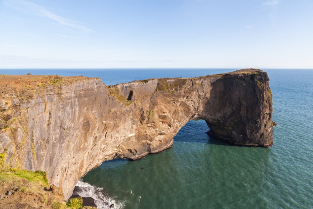
A promontory 120 metres high that used to be an island, thrown up by an eruption about a hundred thousand years ago, with a lighthouse of 1927 on top facing the sea. A great black arch of lava stands in the water in front of it, which is what the name means, door hill island. Mýrdalsjökull shows to the north, the Reynisdrangar columns to the east, and the coast west towards Selfoss when the weather allows. It is often called Iceland’s southernmost point, and is not: Kötlutangi on the sands east of here is. Puffins nest on the cliffs in summer.
Watch
Read and plan
Nearby, across borders
Within 60 km as the crow flies, in any country.