Southern Region Accessible walkingWaterfall & cascade
Seljalandsfoss
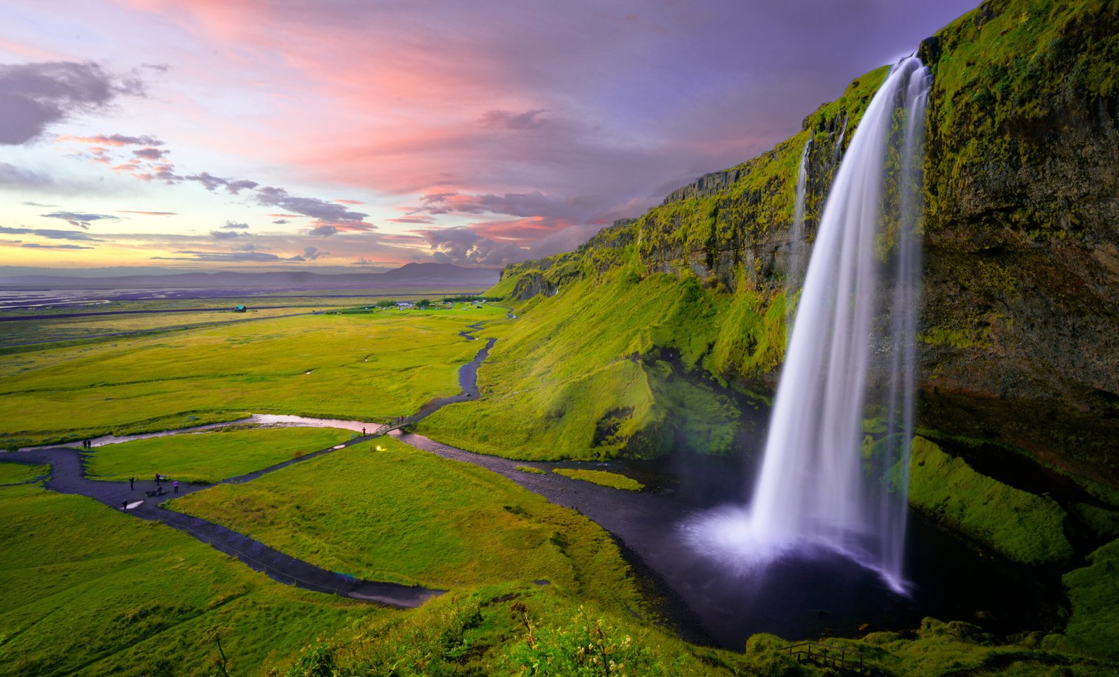
Sixty metres, and a path running behind it
Photograph by Robert Lukeman robertlukeman on Wikimedia Commons
About Seljalandsfoss
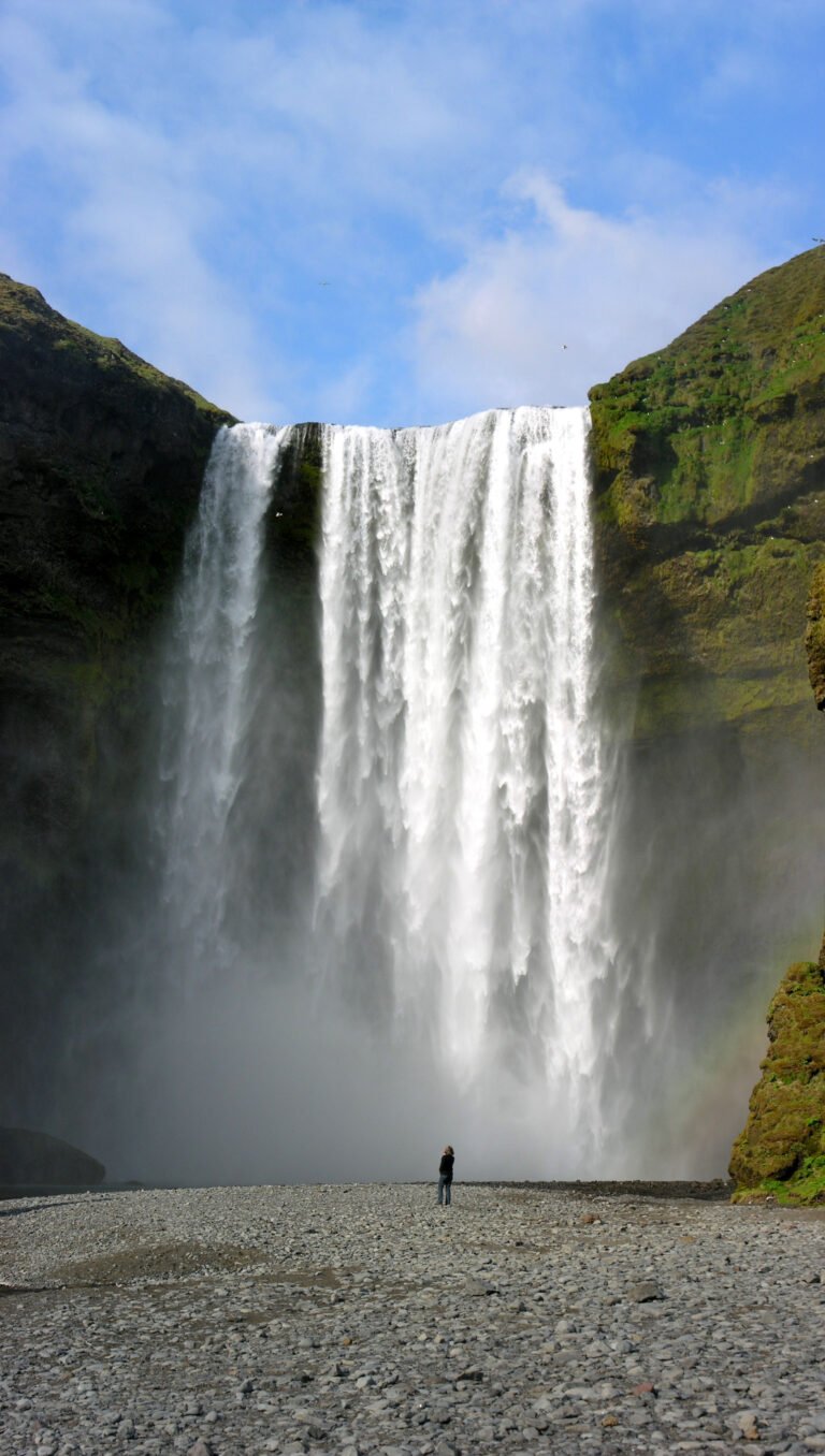
Sixty metres of falling water on a river fed by the Eyjafjallajökull ice cap, and unusual in that you can walk behind it. A path runs round into a small cave under the lip, which is why the photographs of this one always look the same and why everybody gets wet. It stands right beside Route 1 where the road to Þórsmörk turns off. Plans in May 2017 for an eight-metre, 2,000-square-metre information centre nearby caused a public row, opponents arguing it would spoil the view and break up the natural look of the place.
Watch
Read and plan
Nearby, across borders
Within 60 km as the crow flies, in any country.